Map the paddock
A repeatable flight captures the field at the resolution and timing needed for the decision.
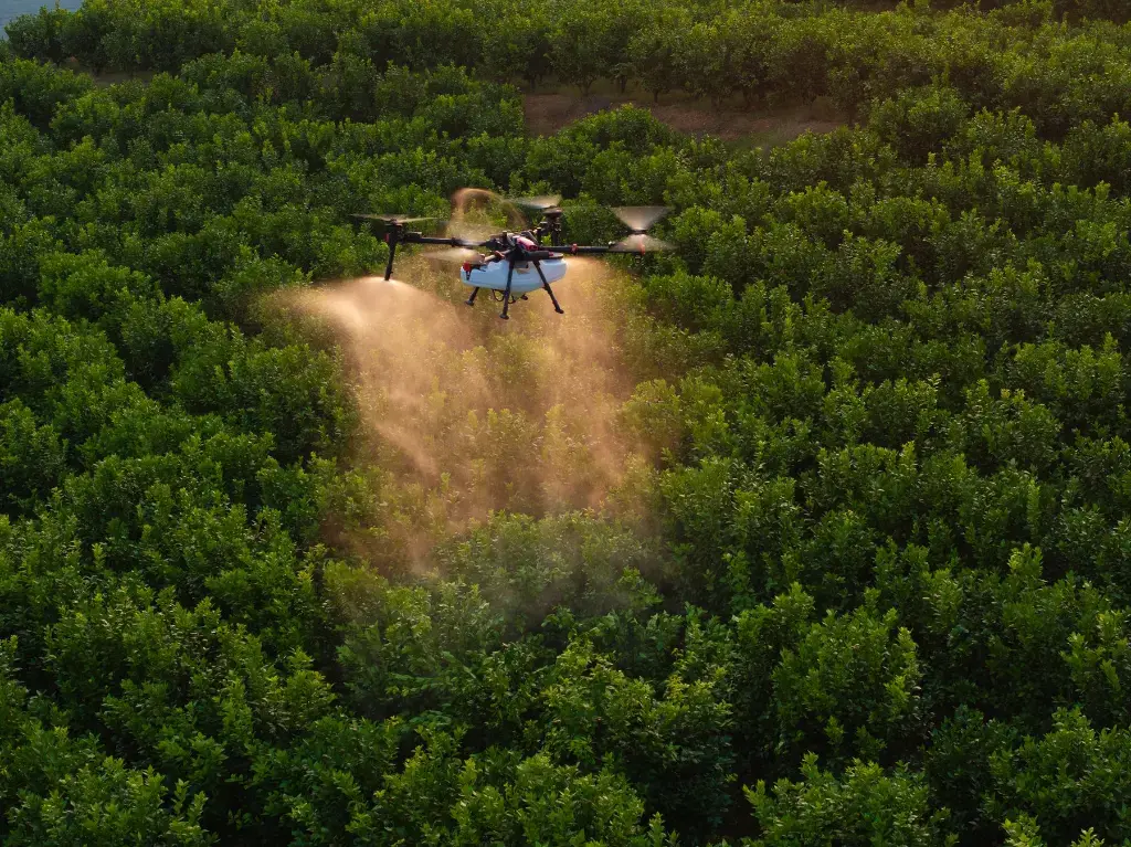
Mavic 3M mapping · XAG spraying · Field intelligence
We connect multispectral mapping and field data with practical on-ground action—using DJI Mavic 3M mapping and XAG application platforms to support more precise pasture and crop management.
What good looks like
Regional service, commercial discipline and practical field experience—combined around the result your operation needs.
Core capability
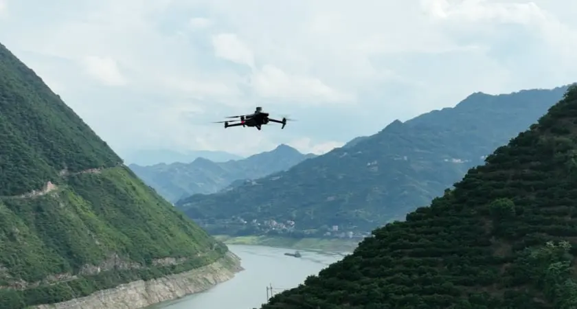
Agricultural drone operations
DJI Mavic 3M mapping and XAG P150 Max application workflows connect field intelligence with targeted action.
How we work
A repeatable flight captures the field at the resolution and timing needed for the decision.
Imagery is reviewed alongside agronomy, soil and field observations.
Outputs are prepared for targeted inspection, spraying, spreading or follow-up mapping.
Where we apply it
Regional service coverage
Agricultural drone mapping, spraying and spreading workflows for farms across Cooma, Bega, Albury, Leeton and surrounding NSW districts, with service planning matched to the paddock and intended agronomic outcome.
View all service areas ↗Common questions
Repeat multispectral mapping can support crop and pasture scouting, variability analysis, weed or problem-area identification, seasonal comparison and better targeted ground inspections.
The XAG platform can support planned agricultural spraying, targeted application, seeding and spreading workflows where site conditions, labels, operating rules and the required outcome are suitable.
Yes. Mapping outputs can help identify priority areas for inspection and support more targeted spraying or spreading plans when combined with agronomy, field observations and compliant operating procedures.
A better technical partner
Tell us what is happening on site and where you want the system to perform better.
Contact MAINTECK ↗